Survey Methods
We offer a range of survey services for "hard-to-reach" areas. We are currently developing additional LIDAR based technology and will soon update this web page with additional market offerings. In summary, at present, CCI offers several types of "eyes-on" survey. Where photographic data is collected we can use this with our AssetScan product to automatically screen for deterioration and condition score assets.
Our core mission is to remove people from dangerous situations. Our survey collection products are specifically designed to remove the need for putting people in places of height, confined spaces, or underwater. The best approach to a risk is to remove it altogether.
Our core mission is to remove people from dangerous situations. Our survey collection products are specifically designed to remove the need for putting people in places of height, confined spaces, or underwater. The best approach to a risk is to remove it altogether.
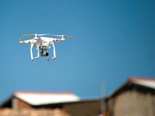
Aerial SurveysCC Informatics has commercially registered pilots and a CAA approved Operations Manual, in addition to a small fleet of drones. This allows us to undertake commercial drone surveys and to effectively plan a safe and effective survey to fit your needs.
At present, the types of survey we conduct are:
Please see our DATA PRODUCTS page for more information on how we post-process this information to develop 3D models and other intelligent survey products with collected information. In particular, photographic data from these surveys can be used with AssetScan. |
Crawler Surveys
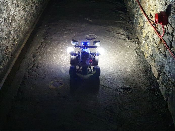
CCI own and operated ground based remotely operated vehicles. These can be modified to meet the requirements of each project, such as adding additional light sources, cameras, and instruments. In tunnels we have tested operability of the unit with our specialist radio communication equipment and validated strong signals up to 500 m away, and can allow autonomous control where radio signals may not be adequate. The following list are examples of the data we can collect:
If you have bespoke remote data collection requirements, it is likely that our crawler can facilitate these. |
Submersible Surveys
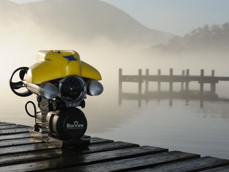
CC Informatics has experienced ROV operators who can navigate in low visibility environments to effectively collect information as required. Typical surveys might include:
We are currently experimenting with methodologies to produce additional 3D data products from submersible surveys. Please see our DATA PRODUCTS page for more information. |
Roving Cameras
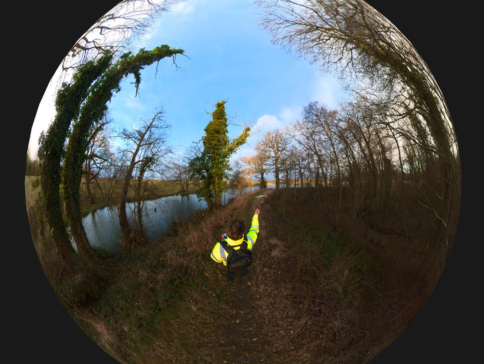
CCI can perform walking/roving photographic data collection exercises using 360 cameras. This allows the walk to be "re-run" and for additional features which might have been missed by operatives to be identified. Furthermore, it is currently a development focus of AssetScan to incorporate and undertake deterioration surveys from 360 video and pictures. |

